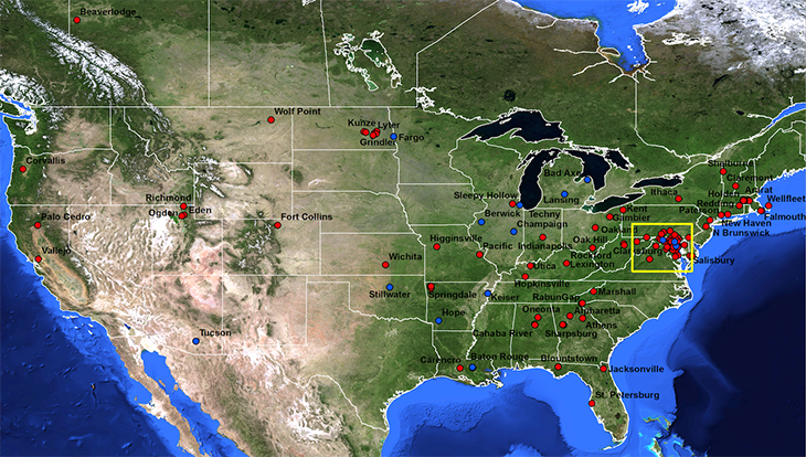
The HoneyBeeNet scale hive data and maps are updated infrequently. Most of the dots on the maps link to site data. All sites with useful data through 2012 are listed on the scale hive menu that appears when you roll over the 'Scale Hive Sites' button below. The Regional Map includes sites in MD, Northern VA, DE, and Washington, DC. The National Map does not include these regional sites. There are some sites indicated on the map for which we have no useful data available. We are currently working on the 2013 and later data.
The sites indicated in blue are historical (before 1972, the beginning of the earth satellite data record); those in red and yellow are current sites (1973 and later).
Roll over the 'Scale Hive Sites' button to see data and information for one of the sites on the map below.